Rafina → Naxos at a glance
- Crossing
- ~3h30m–4h
- Operators
- Fast Ferries · Golden Star · SeaJets
- Arrives
- Naxos
- Vessel
- high-speed
- Runs
- seasonal (Apr–Oct)
Book your Rafina–Mykonos ferry
Live sailings and instant e-tickets — powered by Ferryhopper.
We may earn a small commission from bookings made through links on this page, at no extra cost to you.
Travelling on set dates or booking a return? Open the full search
Top things to do on Naxos
Going to Naxos? These are the tours travellers book most — the Portara, mountain villages, beaches and boat trips.
Stay connected in Greece
Skip the roaming bills — grab a travel eSIM and you're online the moment you land.
The Rafina–Naxos crossing
Naxos is the largest and one of the most self-sufficient of the Cyclades, with golden beaches, a lively old town and green mountain villages. From Rafina, high-speed ferries reach it directly in the summer season, saving you the trip across Athens to Piraeus.
Out of peak season, direct sailings thin out and you may need to connect via Paros or Mykonos. Because Rafina sits just ~25 km from Athens International Airport, flying in and sailing the same day is easy in summer.
Tips for this route
- Book ahead in July & August — the fast boats and best fares go first.
- Travelling with a car? Choose a conventional sailing and reserve vehicle space early.
- Arrive 30–45 minutes early and keep your e-ticket ready for the gate.
At a glance
- Crossing time
- ~3h30m–4h
- From
- Rafina
- Operators
- Fast Ferries · Golden Star · SeaJets
- Frequency
- Daily in summer
- Vessels
- High-speed
- Season
- Apr–Oct (peak Jul–Aug)
Other ferries from Rafina
Island-hopping? These routes also leave from Rafina.
Rafina–Naxos FAQ
How long is the Rafina to Naxos ferry?
How much does the ferry cost?
How many ferries run per day?
Which companies sail Rafina–Naxos?
Can I take a car?
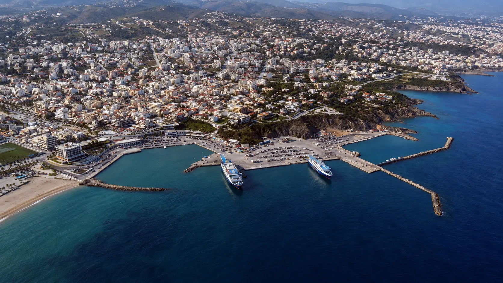
Rafina to Naxos: the closer route
Rafina is on Attica’s east coast, a short, direct crossing to Naxos and minutes from the airport — while ferries from Piraeus sail the long way round the peninsula.
Stylised map for orientation; island and port positions are approximate. Sailing times vary by vessel and season — check live times in the ferry search.