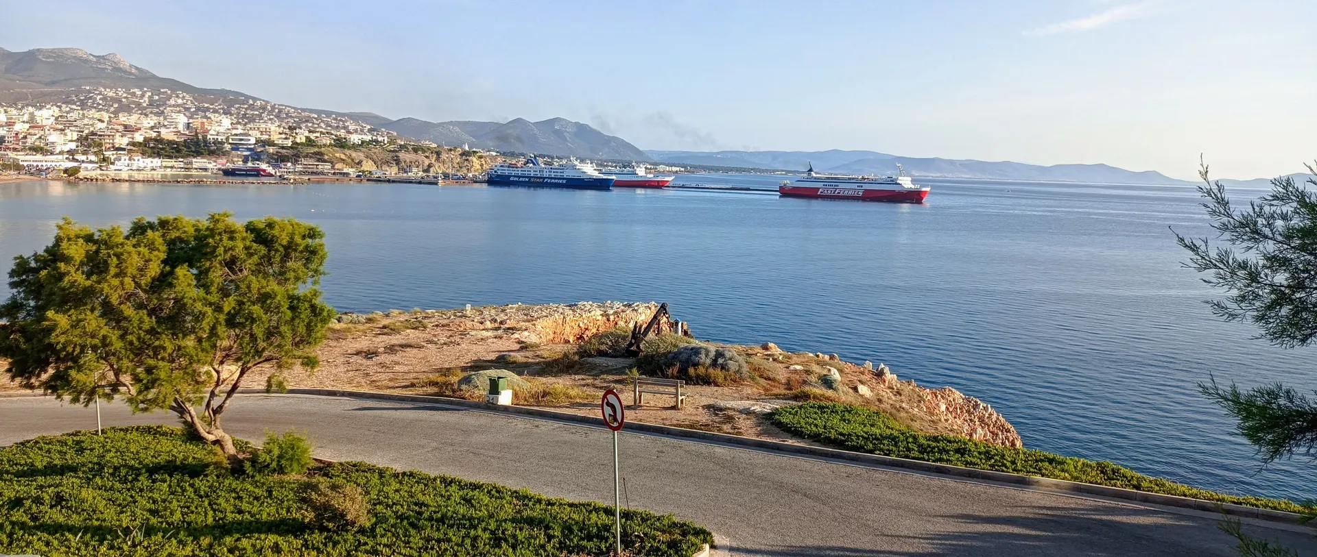
The bay at Porto Rafti

A sheltered bay south of Rafina with three islets, a headless marble giant, and remarkably clean water.

The harbour and bay at Porto Rafti
3 islets Raftis, Raftopoula and Praso, all inside the bay
~10,500 residents at the 2021 census, and close to 100,000 at the height of summer
26 km southeast of central Athens, in the Markopoulo Mesogaias municipality

What is Porto Rafti?

A wide, sheltered bay on the east coast of Attica, a short drive down the coast from Rafina. Quiet out of season, and one of the busiest summer spots in the Mesogaia in August.

Map of Rafti Bay at Porto Rafti The bay opens east to the Aegean. The islets Raftis and Raftopoula sit at the mouth, with Praso inside. Avlaki beach lies about 4 km south of the town centre. Vravrona is about 5 km north, and the road from Rafina comes down the coast from the north. Raftis Raftopoula Praso Rafina down the coast road Vravrona ≈ 5 km north of the town Porto Rafti town & harbour Markopoulo ≈ 7 km Avlaki ≈ 4 km south of the centre Aegean

Schematic, not to scale. Distances are the sourced ones: Markopoulo about 7 km inland, Vravrona about 5 km north, Avlaki about 4 km south of the town centre.

The giant that named the town

Porto Rafti means "the tailor's port". The tailor is a statue.

On Raftis, the larger islet at the mouth of the bay, sits a colossal marble figure: an enthroned woman in heavy, elaborate drapery. She has lost her head and arms. Seen from the water at a distance, the seated silhouette with its raised stump of an arm looked to sailors like a tailor at work, and the name stuck to the whole bay.

Who she actually is has never been settled. Some argue for Regilla, wife of Herodes Atticus; others for the goddess Cybele or Rhea. The name's origin is disputed too: alongside the tailor story, scholars have proposed the Albanian rrapthi, "small plane tree", and a link to the worship of Rhea across eastern Attica.

The islets were not always empty. Archaeologists have found evidence of Mycenaean settlement on them, and the bay served the ancient demes of Prasiai, Steiria and Koroni. It stayed a working trading port until the collapse of the Roman Empire.

A darker footnote. In late April 1941, after the German invasion of Greece, this bay was one of the points from which Allied troops were evacuated. The quiet swimming beaches were an embarkation line within living memory.
The beaches

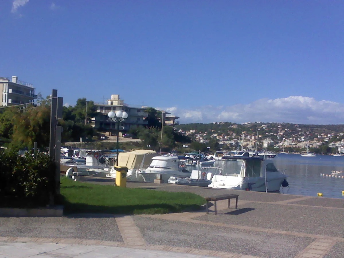
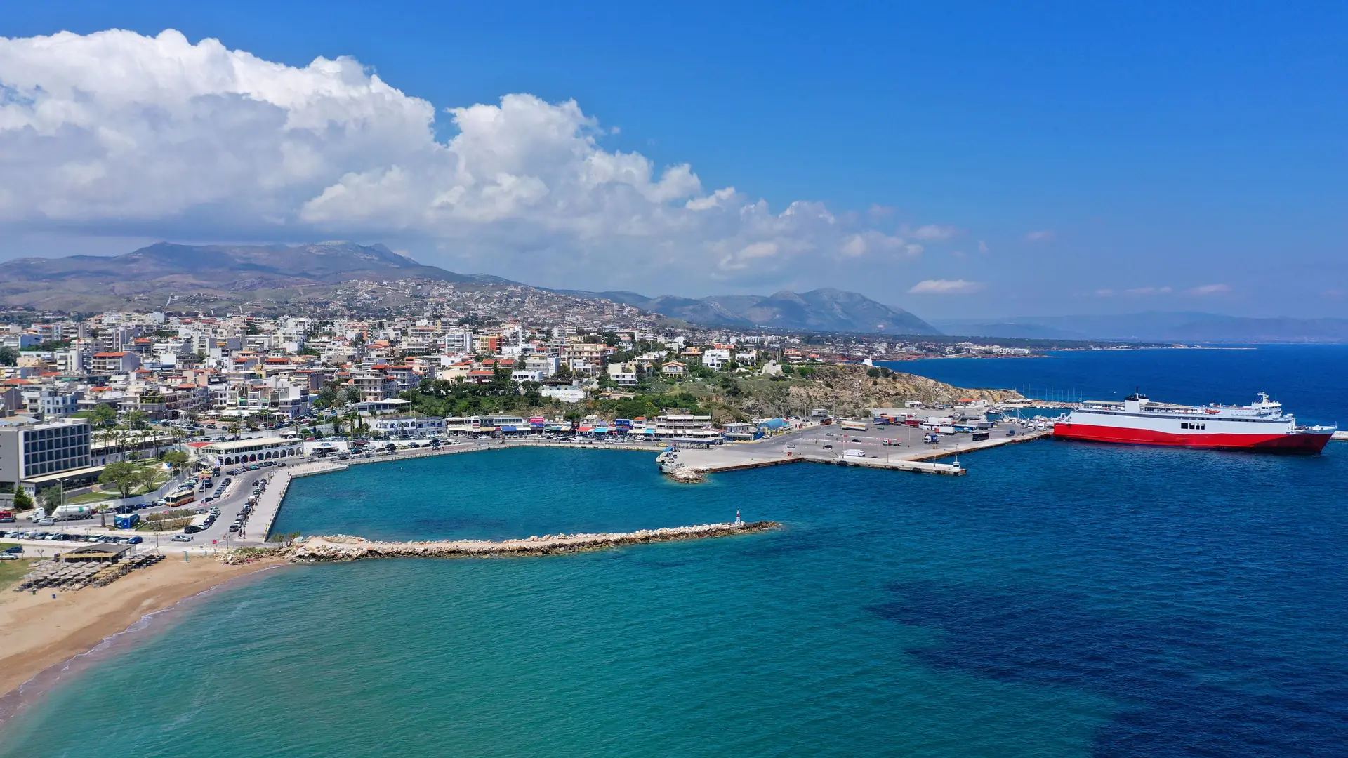
The bay's shoreline is broken into several separate beaches. Avlaki is the one with the reputation.

The known one

Avlaki

A long sandy beach about 4 km south of the town centre, with tavernas along it and municipal facilities. It holds a permanent green-flag certification for water quality, which puts it among the cleanest bathing water in Europe.

  • Sand or rock Sand
  • From the town centre ≈ 4 km south
  • Facilities Municipal, plus tavernas
  • Water quality Permanent green flag
Also on the bay

The other three

The bay's other named beaches. We have deliberately not written descriptions of these yet rather than guess at them.

  • Agios SpyridonasOn the bay, north of Avlaki.
  • Agia MarinaOn the bay.
  • ErotospiliaOn the bay. The name means "cave of love".

Going for the day? The beaches nearer Rafina are covered on our Rafina beaches guide, including Schinias, Kokkino Limanaki and Marikes.

Getting to Porto Rafti

There is no ferry and no train. Realistically you drive, or you take a taxi.

We may earn a small commission from bookings made through links on this page, at no extra cost to you.

By car from Rafina

South down the coast, past Vravrona. This is the obvious way and it is the only one that makes a beach day easy, because the beaches are spread along several kilometres of shoreline.

From Athens Airport

Porto Rafti sits south of the airport in the same corner of Attica, so it is a short hop rather than a cross-city trek. Renting at the airport and driving down is usually simplest.

By KTEL bus

KTEL Attikis runs the Mesogaia routes serving Markopoulo and Porto Rafti. Services thin out sharply off season and at weekends, so check before you rely on one.

If the search box does not load, you can browse rental cars directly, or read our car rental guide.

Make a day of it

Porto Rafti works best combined with what is on the road between here and Rafina.

Vravrona, 5 km north
  • The Sanctuary of Artemis, with a Doric temple, a Π-shaped stoa and the only known Classical-period stone bridge in Greece.
  • Its museum sits 330 m from the site and holds the votive offerings, including statues of children.
Back up the coast
  • The Rafina beaches are 15 to 20 minutes north, and the port itself has the fish tavernas.
  • Catching a boat the same day? See where to park at Rafina port.
Rafina beaches guide →

Porto Rafti questions

What people ask before driving down.

Where is Porto Rafti?
On the east coast of Attica, about 26 km southeast of central Athens and roughly 7 km east of Markopoulo, in the municipality of Markopoulo Mesogaias. It sits south of Rafina, down the coast past Vravrona.
Why is it called Porto Rafti?
The name means "the tailor's port". It is usually traced to the colossal marble statue of an enthroned woman on the islet of Raftis at the mouth of the bay, whose headless seated silhouette looked to sailors like a tailor at work. Other explanations have been proposed, including the Albanian rrapthi ("small plane tree") and a link to the worship of the goddess Rhea in eastern Attica.
Is there a ferry to Porto Rafti?
No. Porto Rafti is a bay and a summer town, not a ferry port. Ferries to the Cyclades and Evia leave from Rafina, up the coast to the north.
Which is the best beach at Porto Rafti?
Avlaki, about 4 km south of the town centre, is the best known: a sandy beach with municipal facilities and tavernas that holds a permanent green-flag certification for water quality. The bay also has Agios Spyridonas, Agia Marina and Erotospilia.
Can I visit Porto Rafti and Vravrona in one trip?
Yes, and it is the sensible way to do it. The Sanctuary of Artemis at Vravrona is about 5 km north of Porto Rafti, directly on the road back towards Rafina, so the two combine into an easy half-day by car.
How busy does it get?
Very. The permanent population is around 10,500 at the 2021 census, but the area is a long-standing summer destination for Athenians and swells towards 100,000 people at the height of the season. Out of season it is quiet.
@rafinainfo

Follow Rafina, every day

Sunsets over the port, live ferry updates, hidden beaches and the food we can't stop eating — join the community on Instagram & Facebook.

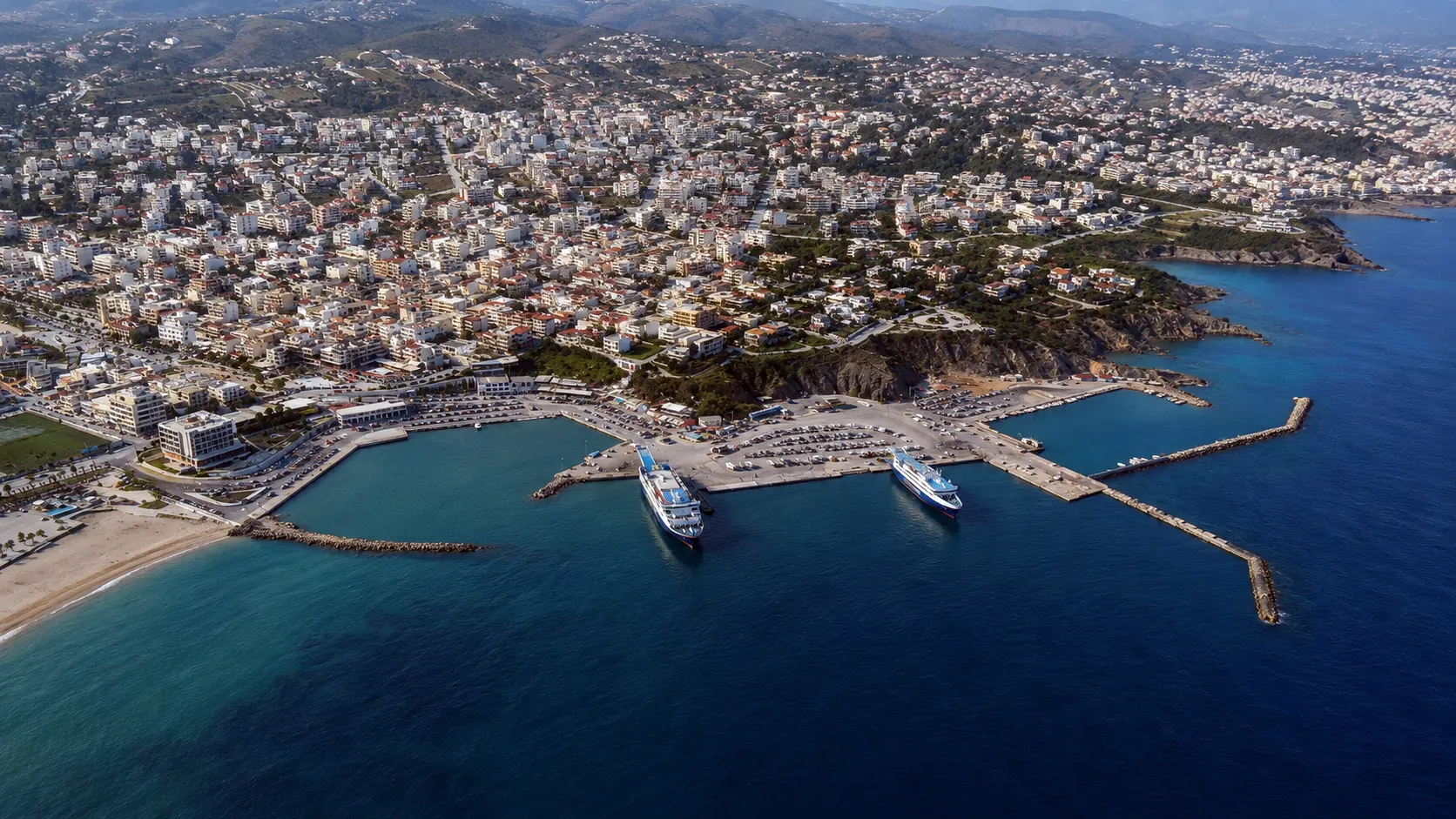
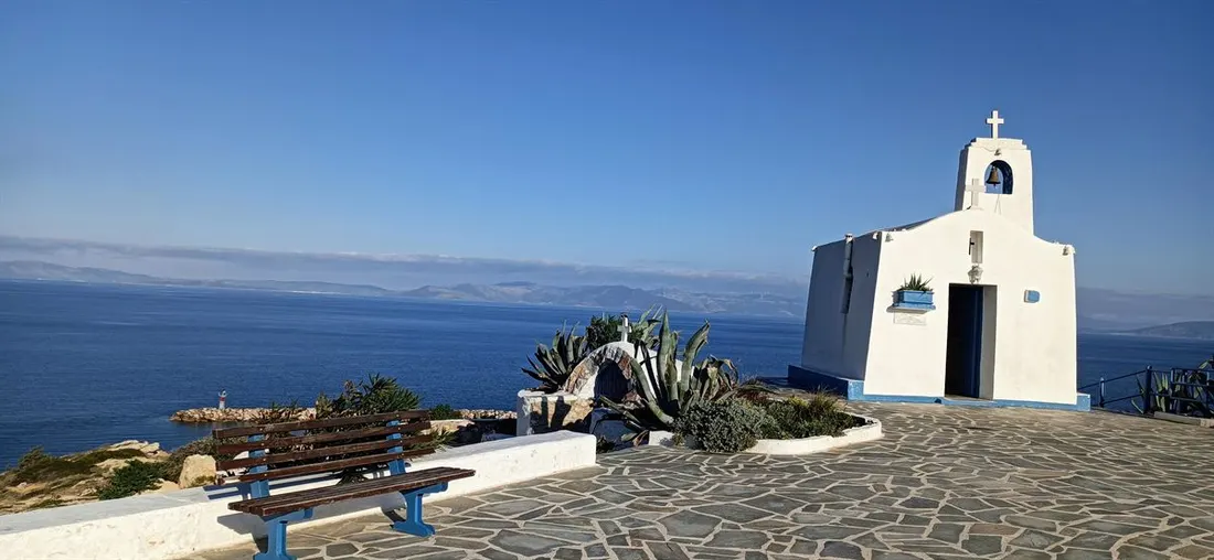
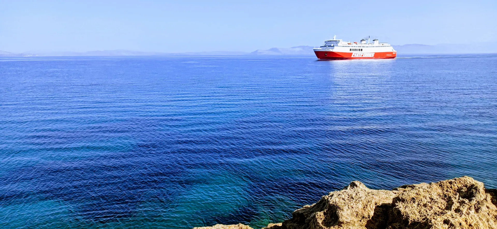
Rafina town and harbour from above Ferries docked at Rafina port Whitewashed seaside chapel near Rafina A sunny weekend by the sea in Rafina Grilled octopus at a Rafina seaside taverna Golden hour over the Rafina coastline @rafinainfo